
Draw geography
Paint land and water, shape coastlines, and draw rivers, roads and routes with freehand, straight-line or connected-point tools.
The Scribe Series / Place
Maps for a richer past.
Beta · 0.22.0Compose illustrated maps with deliberate geography, controlled procedural terrain and historically inspired artwork, designed for high-quality PNG export.
For historians, educators, researchers and history enthusiasts making maps for teaching, study, publications and storytelling.
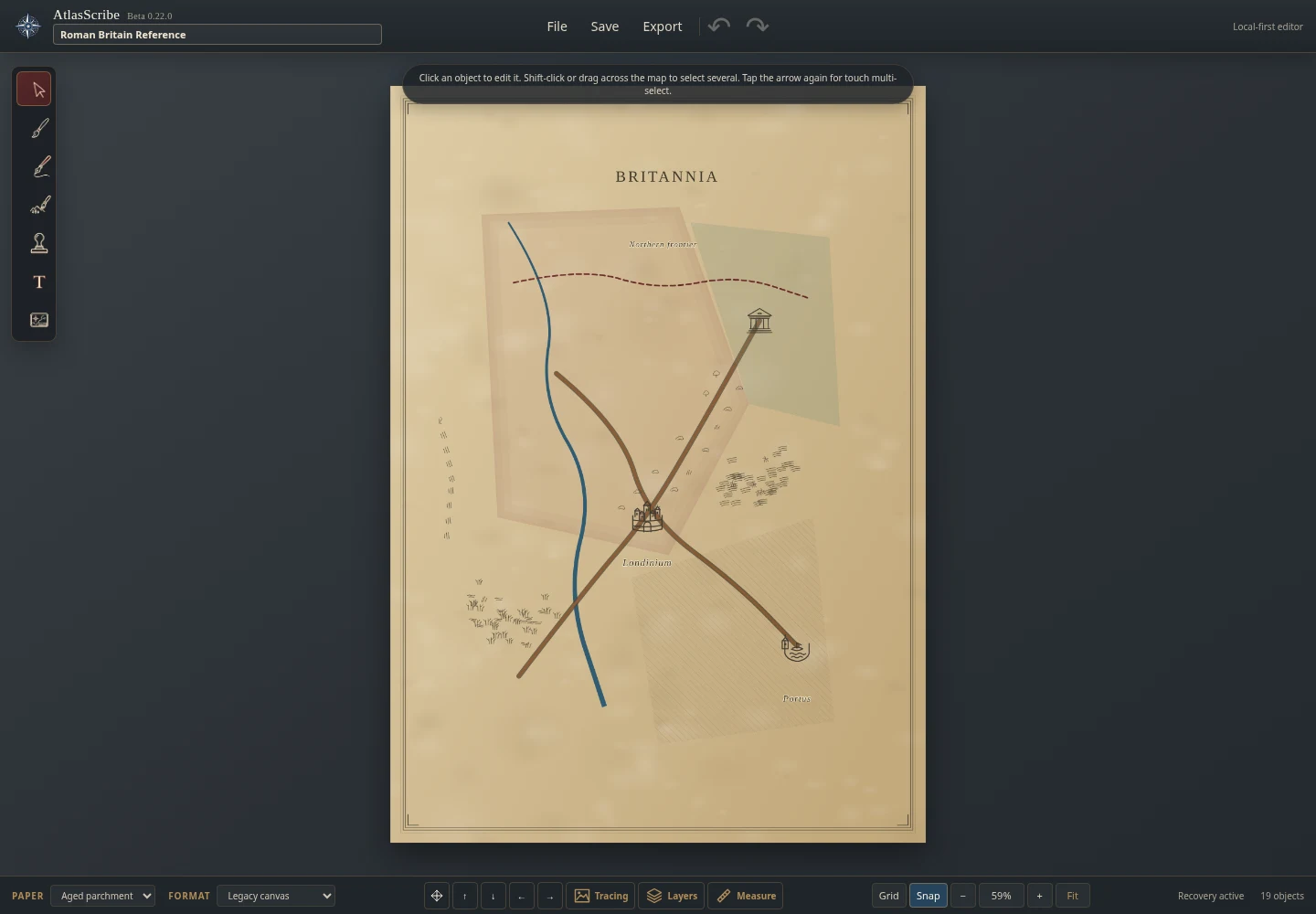
From the application
The approach
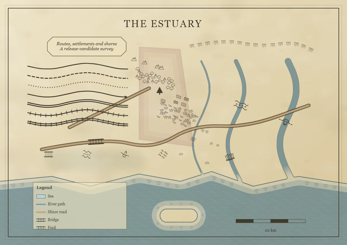
Digitally constructed, but visually inspired by hand-drawn, engraved and historical map illustration.
AtlasScribe puts deliberate composition at the centre. You decide where the coast falls, how a route runs and which details make the map legible.
Historically inspired linework, symbols and restrained colour guide the visual direction. The tools aim to bring the control of manual illustration into an approachable mapping workspace.
A reference beneath your work
Start with an existing map or geographic reference, then build your own illustrated interpretation above it.
Import a reference image, align and resize it, reduce its opacity and lock its position while you draw. Keep the geography grounded while choosing the visual language yourself.
Inside the current application
Paint land and water, shape coastlines, and draw rivers, roads and routes with freehand, straight-line or connected-point tools.
Compose forests, mountains, fields and other repeated terrain marks. Area and path treatments give you control over density, scale and placement.
Place reusable cartographic stamps and essential symbols. Import compatible SVG or transparent PNG artwork to extend your personal library.
Mark regions and territories with cartographic shading, or apply a soft translucent colour wash without changing the underlying geography.
Add styled text and labels, position titles, and finish the composition with borders, legends, scale bars and cartographic furniture.
Select, resize, rotate and reorder objects. Work with layers, undo/redo, zoom and page navigation, then save an editable project to reopen later.
Controlled illustration
Repeated marks should help a landscape read as a whole.
Seeded generation makes procedural arrangements reproducible. Path-aware treatments follow a line; area treatments build up illustrated terrain within a chosen region. Geometry-aware placement helps keep marks clear of surrounding features.
The current stamp system supports individual personal SVG or transparent PNG imports alongside core cartographic symbols. A structured asset registry supports curated artwork bundles as visual collections develop.
Artistic quality, placement behaviour and consistency remain active areas of beta refinement.
Designed with the page in mind
A5, A4, A3 and US Letter, in portrait or landscape, plus a square page.
Physical page proportions guide the workspace. Export fidelity and consistent editor/output geometry are core design priorities, so the composition is treated as a page from the outset.
Export the illustrated map as a native, 2× or 300-DPI PNG for sharing and print workflows. Save an editable project separately when you want to continue working.
Current map output is PNG; PDF, SVG map export and larger professional print formats are future directions.
Who it is for
For historians, educators, researchers and history enthusiasts making maps for teaching, study, publications and storytelling.
Development status
The flagship Wickham Forge application is a mature beta. Its core map-making tools are established, with the public beta foundation now extended by controlled procedural asset behaviour. Refinement, reliability, artistic quality and testing across browsers, touch devices and physical print remain active priorities.
Documentation, feedback channels and commercial details will be published here as beta develops.
The independent workshop